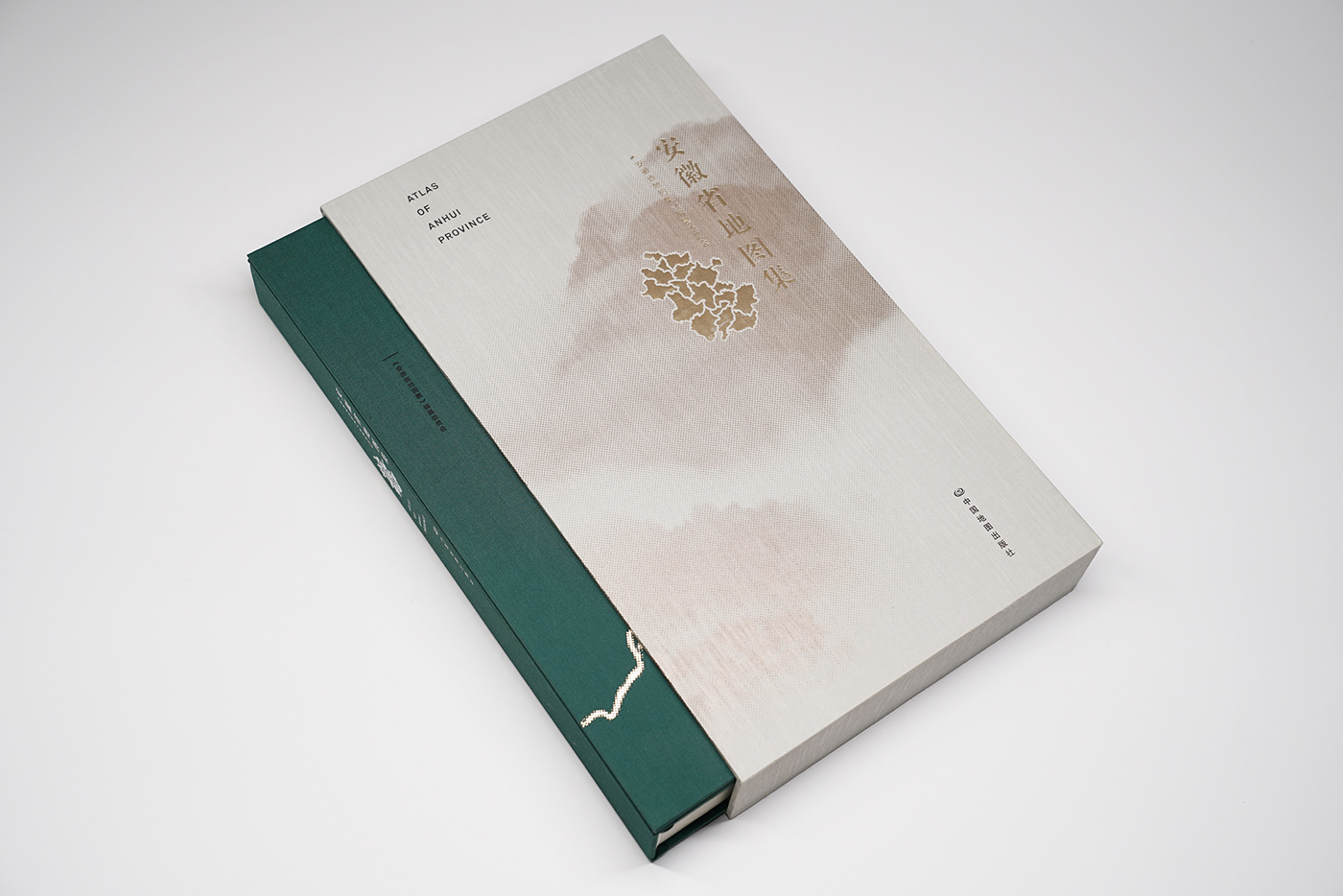
Atlas of Anhui Province
安徽省地图集


Client
Sinomap, China
Production
Sinomap
Time
2017
Sinomap, China
Production
Sinomap
Time
2017
︎2018 China’s Pei Xiu award GOLD Award
2018年中国地图“裴秀奖”金奖
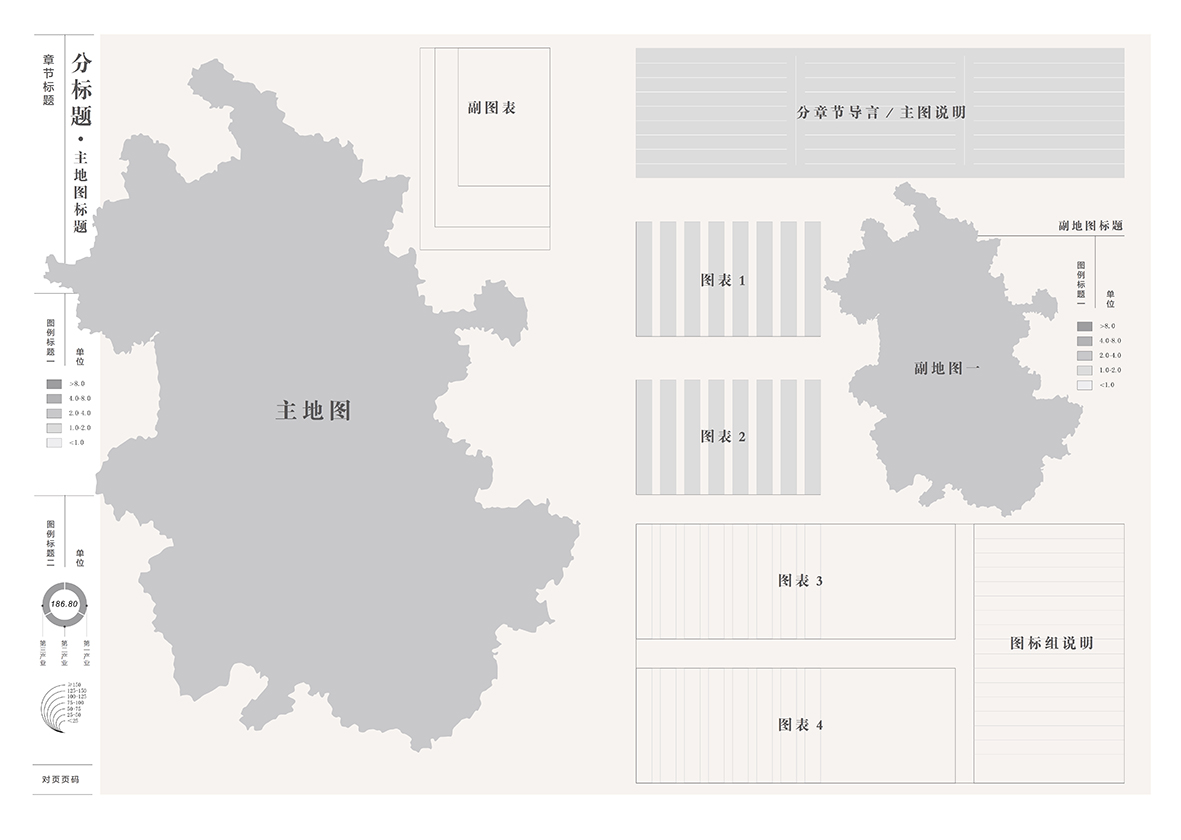
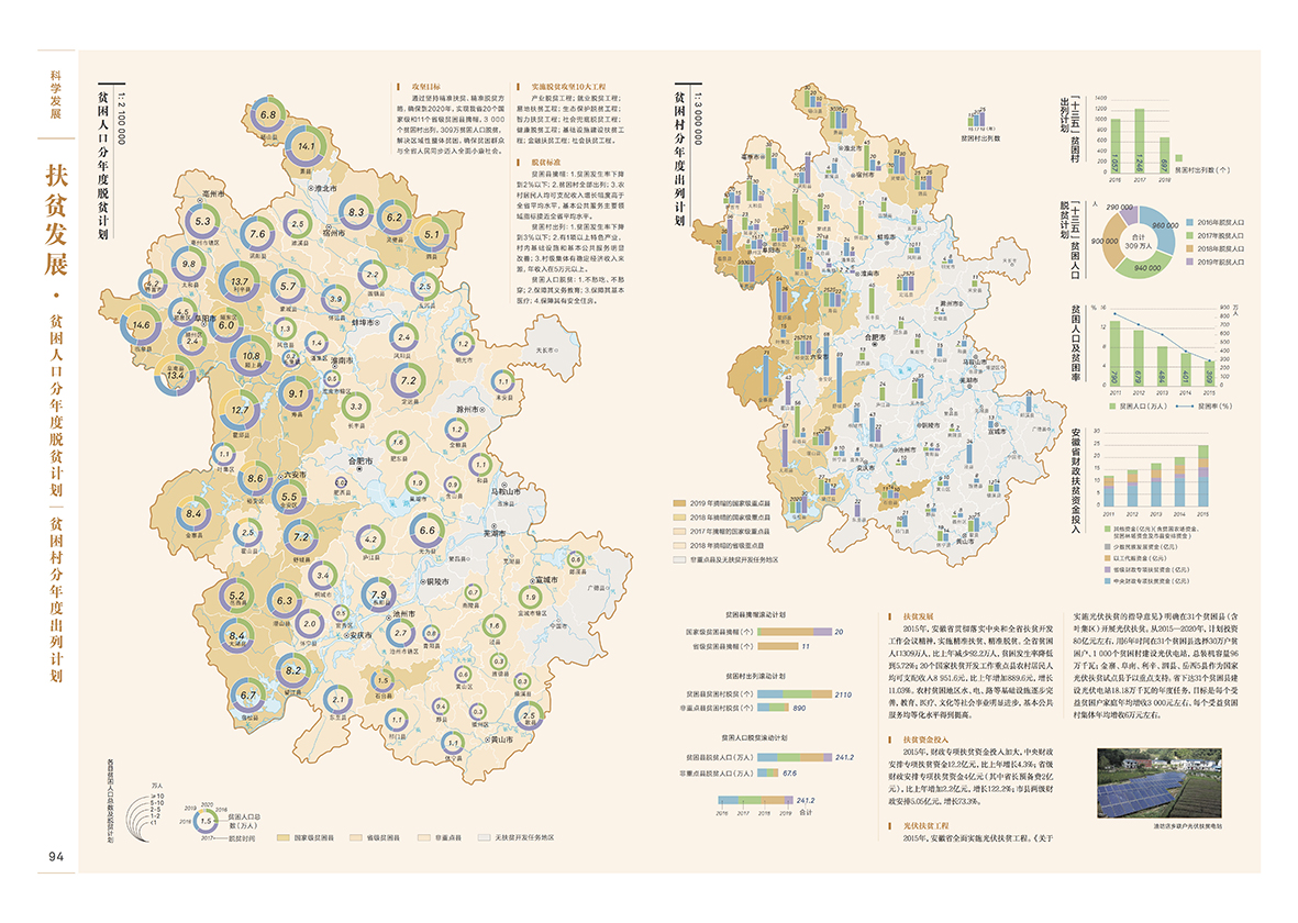
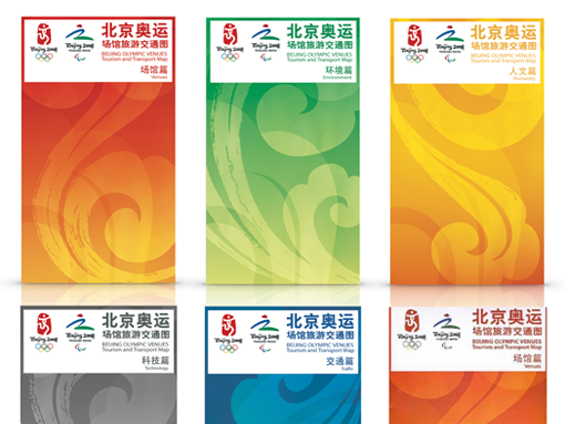
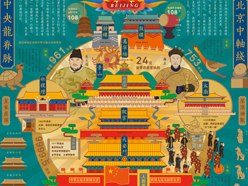
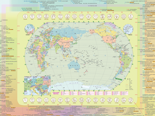
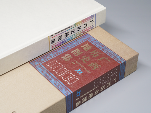
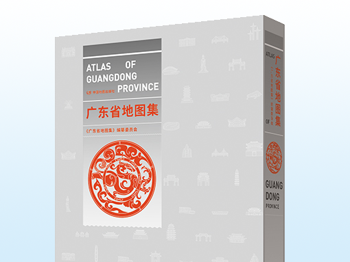
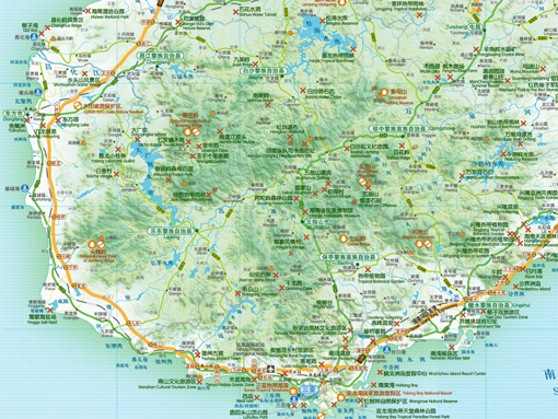
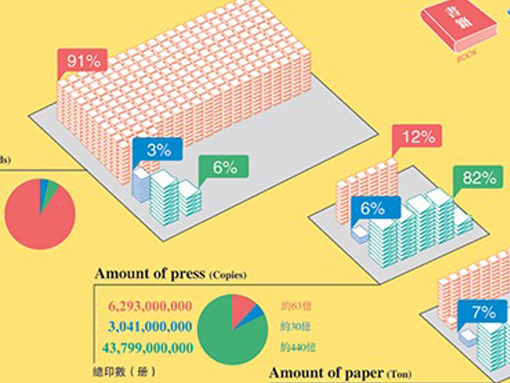
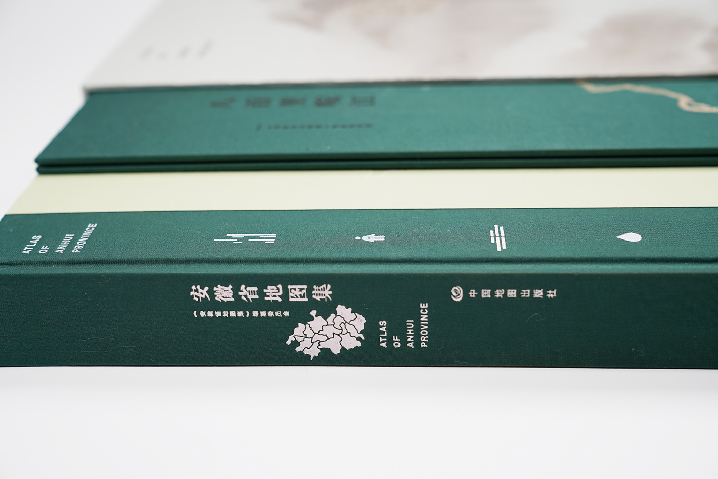
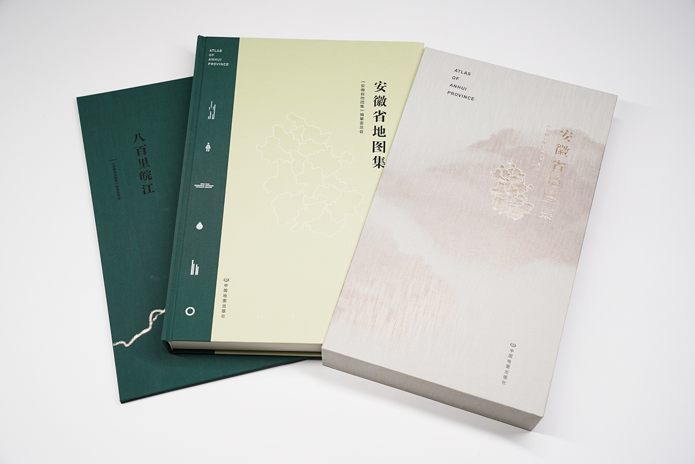
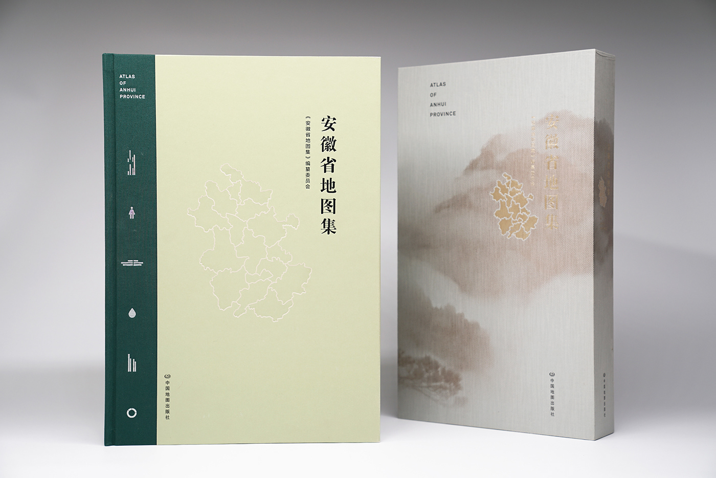
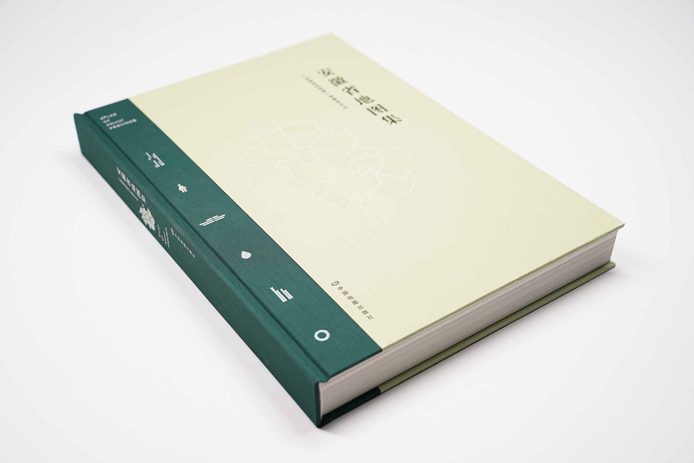
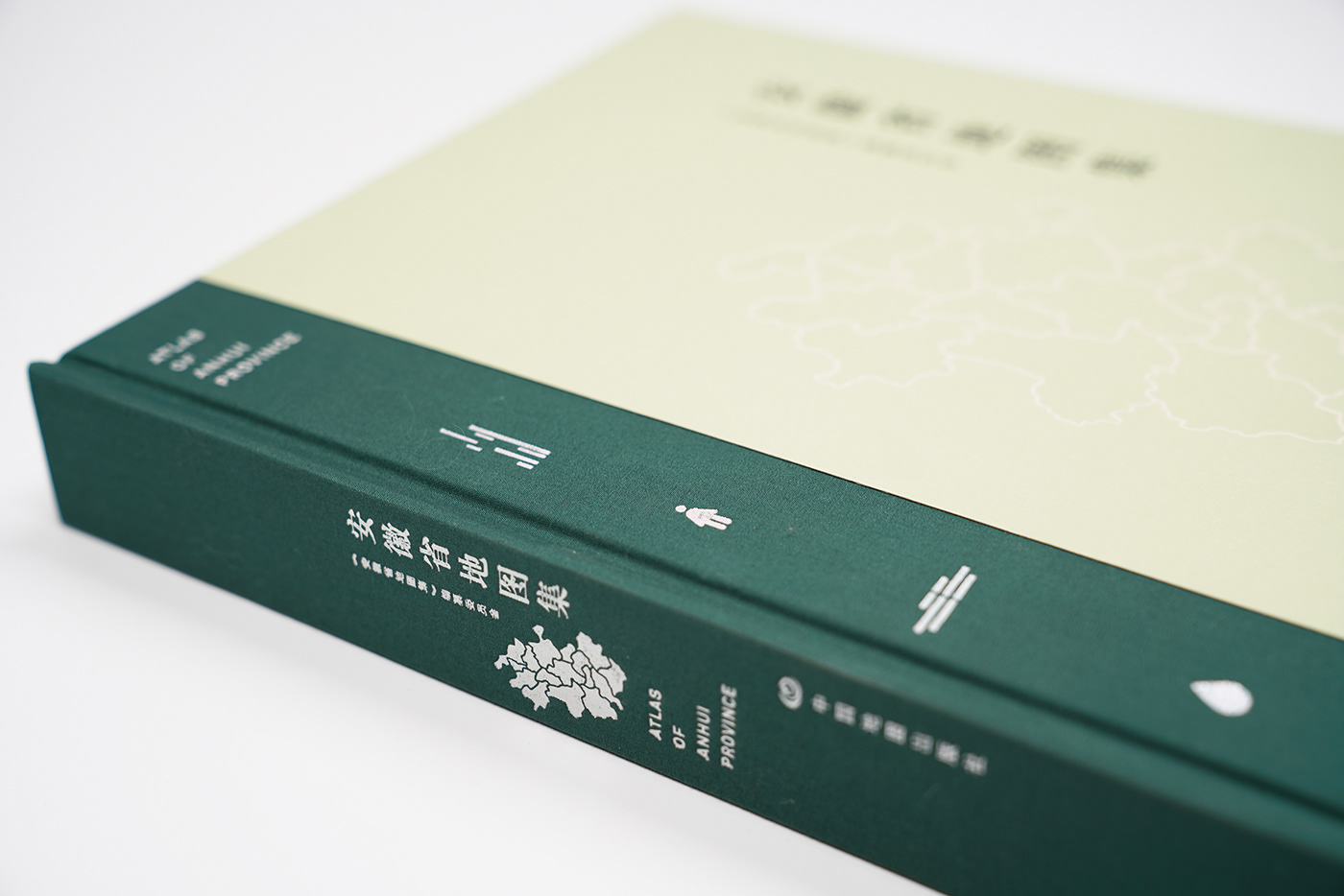
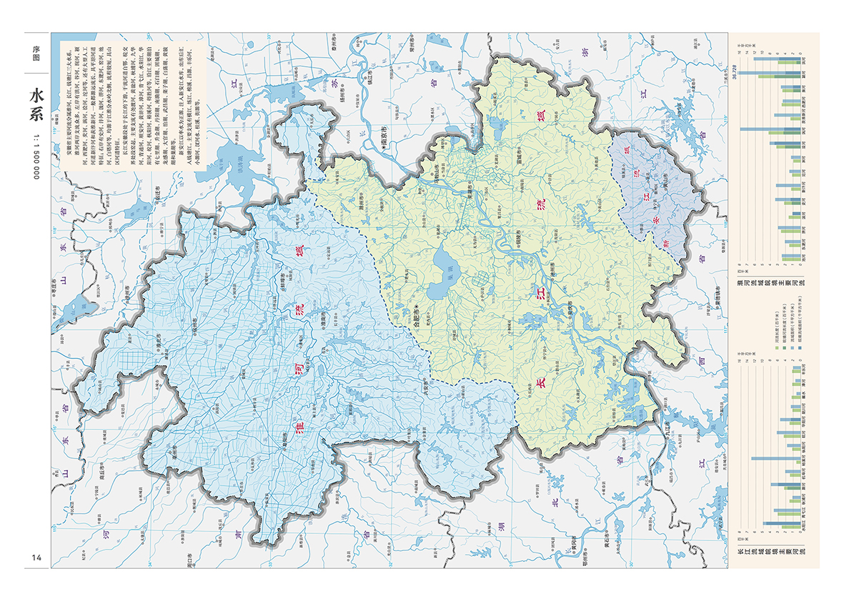
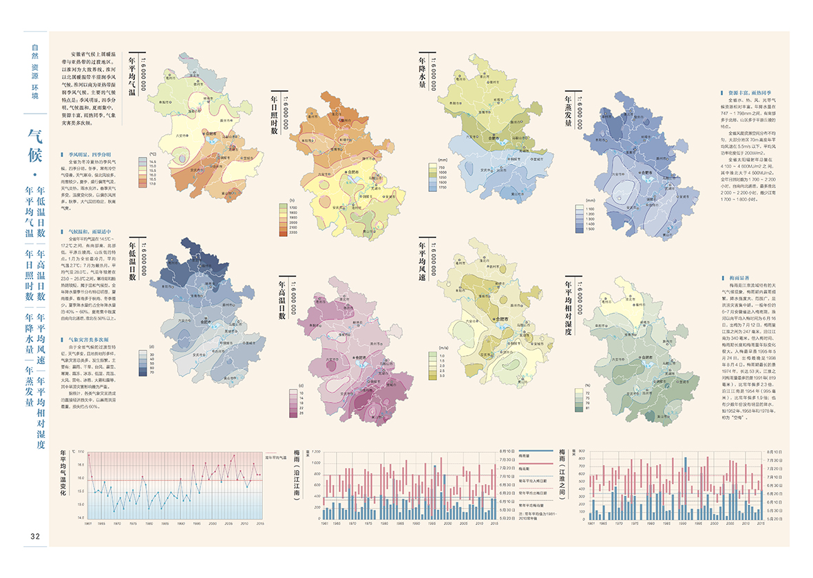
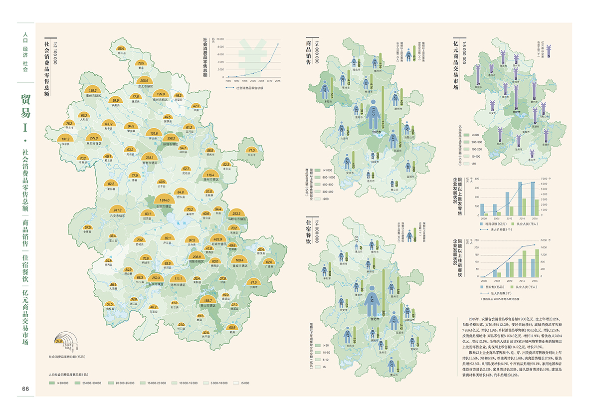
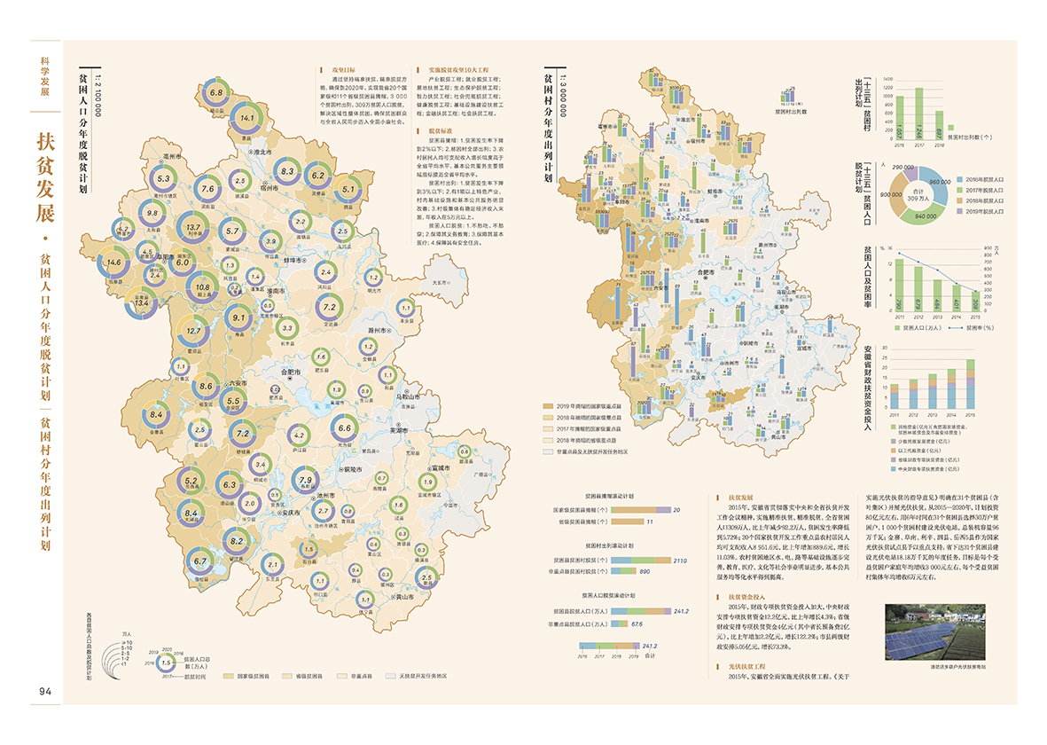
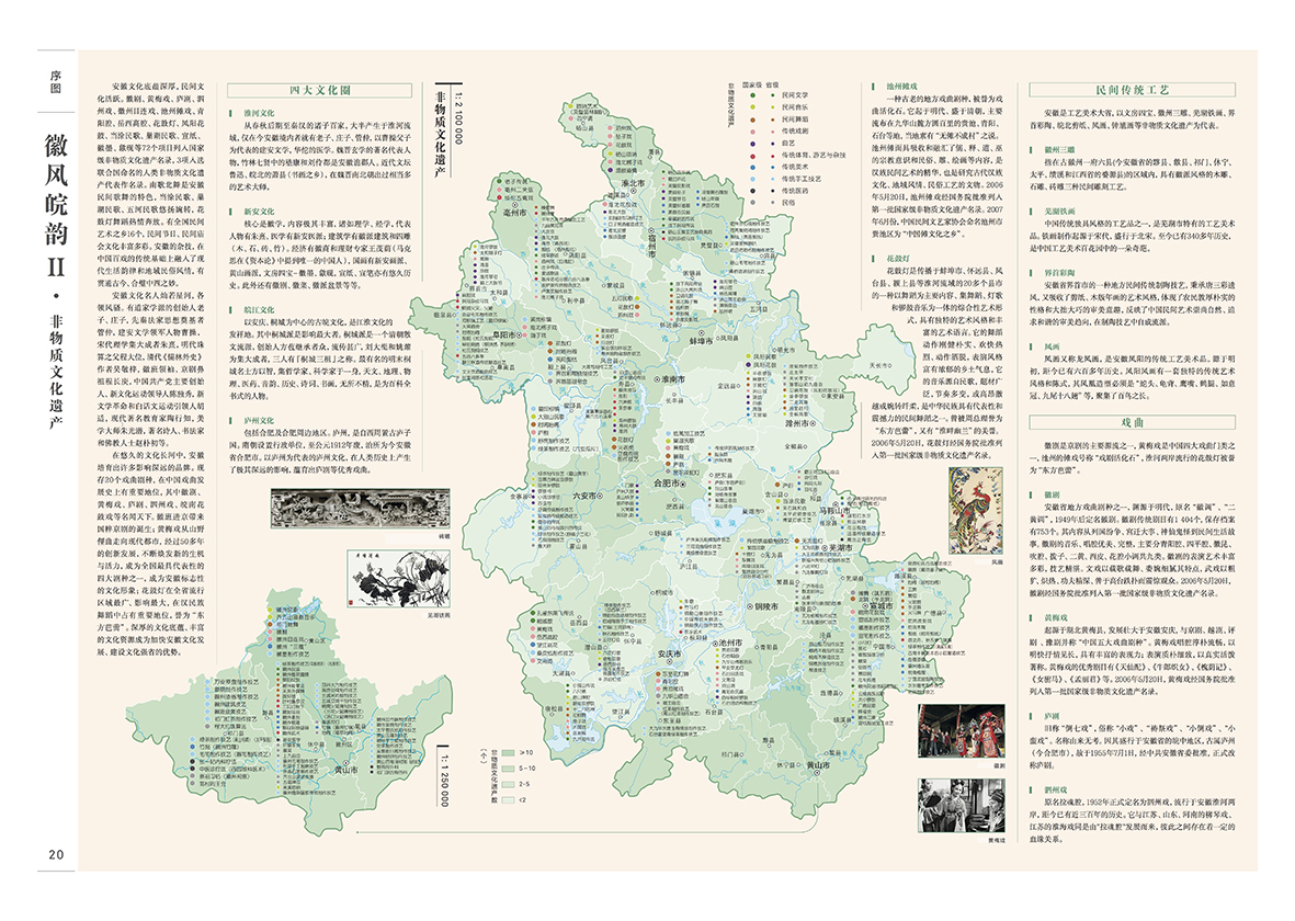
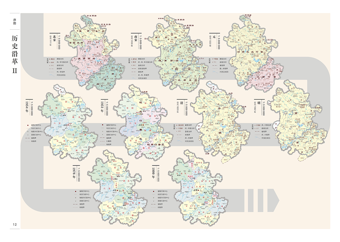
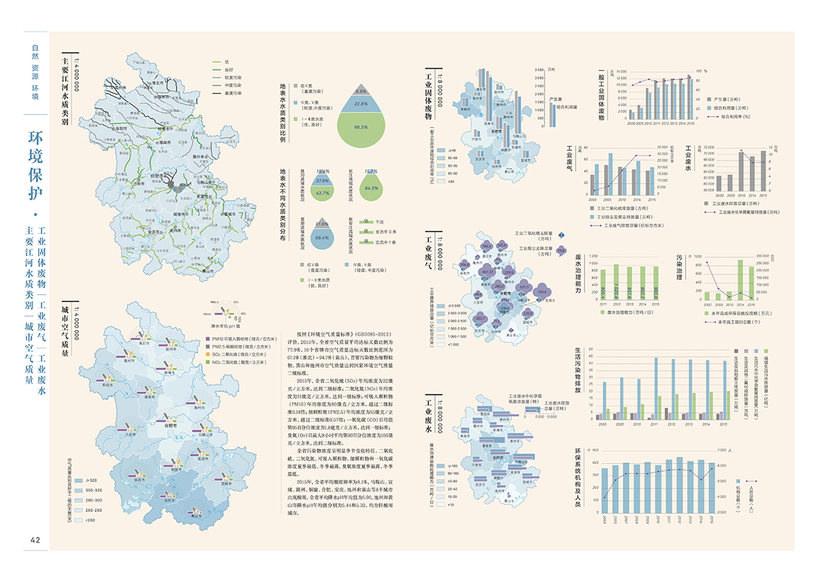
The Atlas of Anhui Province is a set of political, economic and cultural statistical reporting atlas based on geographic information and integrating social big data of Anhui Province in five years. The atlas includes the "Atlas of Anhui Province" and the hand-drawn "Eight Hundred Miles of Wanjiang" folding two major parts. The color system and symbol system of the whole atlas map were redesigned. At the same time, a variety of visual elements such as high-capacity statistical data charts, administrative maps and statistical maps were combined to show the achievements of Anhui Province's construction and development in a new and systematic visual design way.
《安徽省地图集》是一套以地理信息为基础、综合安徽省五年内社会大数据的政治经济文化统计报告型图集。图集包括《安徽省地图集》,以及手工绘制的《八百里皖江》折页两大部分。对整套 图集地图的色彩系统与符号系统进行了重新设计,同时结合大容量统计数据图表、行政地图、统计地图等多种视觉元素,以崭新的系统化的视觉设计方式展现安徽省的建设发展的成果。
![]()
![]()
![]()
![]()
![]()
![]()
![]()
![]()
![]()
![]()
2018年中国地图“裴秀奖”金奖
The Atlas of Anhui Province is a set of political, economic and cultural statistical reporting atlas based on geographic information and integrating social big data of Anhui Province in five years. The atlas includes the "Atlas of Anhui Province" and the hand-drawn "Eight Hundred Miles of Wanjiang" folding two major parts. The color system and symbol system of the whole atlas map were redesigned. At the same time, a variety of visual elements such as high-capacity statistical data charts, administrative maps and statistical maps were combined to show the achievements of Anhui Province's construction and development in a new and systematic visual design way.
《安徽省地图集》是一套以地理信息为基础、综合安徽省五年内社会大数据的政治经济文化统计报告型图集。图集包括《安徽省地图集》,以及手工绘制的《八百里皖江》折页两大部分。对整套 图集地图的色彩系统与符号系统进行了重新设计,同时结合大容量统计数据图表、行政地图、统计地图等多种视觉元素,以崭新的系统化的视觉设计方式展现安徽省的建设发展的成果。